
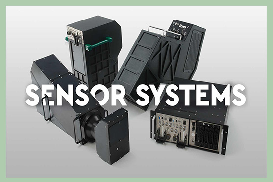
Sensor Line 1 - High Fidelity - Hyperspectral - Sensor System
Maximum performance, scientific grade imaging systems for those requiring industry-leading hyperspectral and thermal mapping imagers with the specifications to match.
Common Features
Custom Optics - Custom Arrays - Lidar Integration - GNSS Compatibility
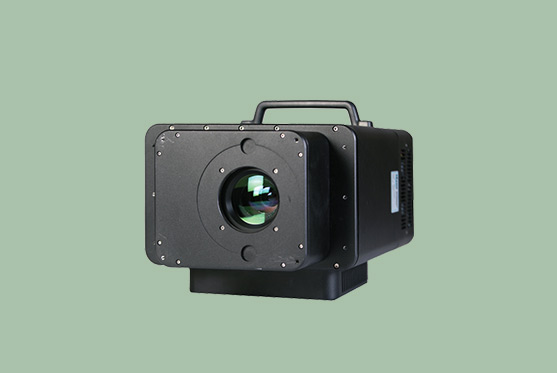
Hyperspectral all-in-one VNIR imager that others try to emulate. Up to 288 bands of crisp visible-near infrared goodness for a wide variety of environmental, forestry, agricultural, optical water quality and wetlands applications.
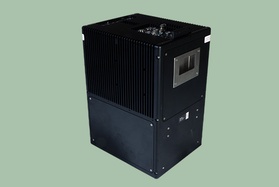
Unique to ITRES: Pushframe, wide swath, broadband thermal imager. Sensitive to thermal differences as small as 0.05°C, the TABI can be flown slow or fast, the mapper’s very high spatial resolution is unaffected. Fast data turnaround. Firemapping.
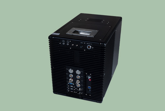
The TSR-1800 provides spatial resolutions as small as 6cm, with self-adjusting internal search parameters that adjust every minute based on changing aircraft speeds (slow or fast, up to 200+ kts) to optimize detection. Spotters focus on spotting, the TSR-1800 sees all and shows it on a moving map display.